FAQ
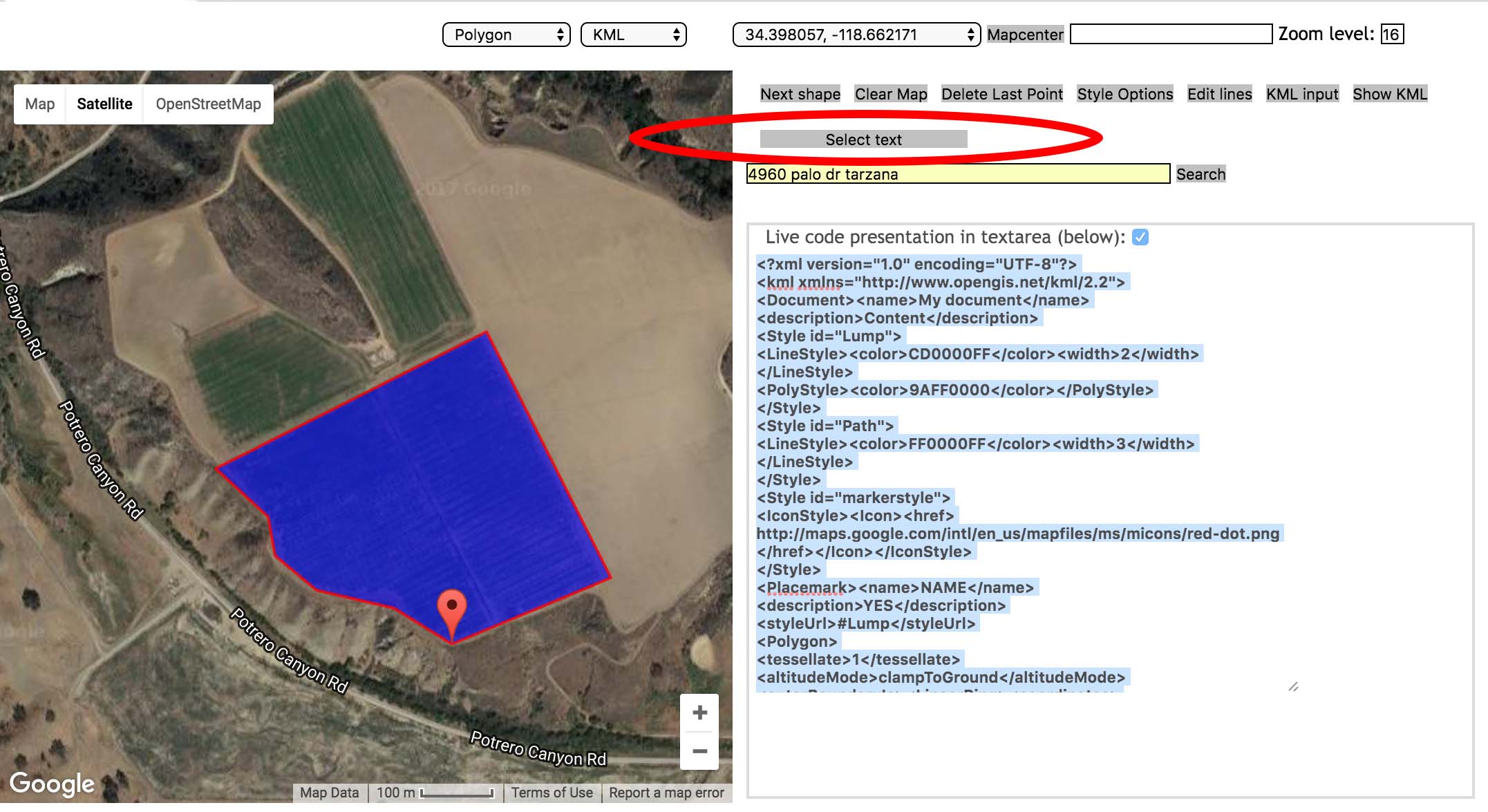
- Enter the address of your farm into the search bar.
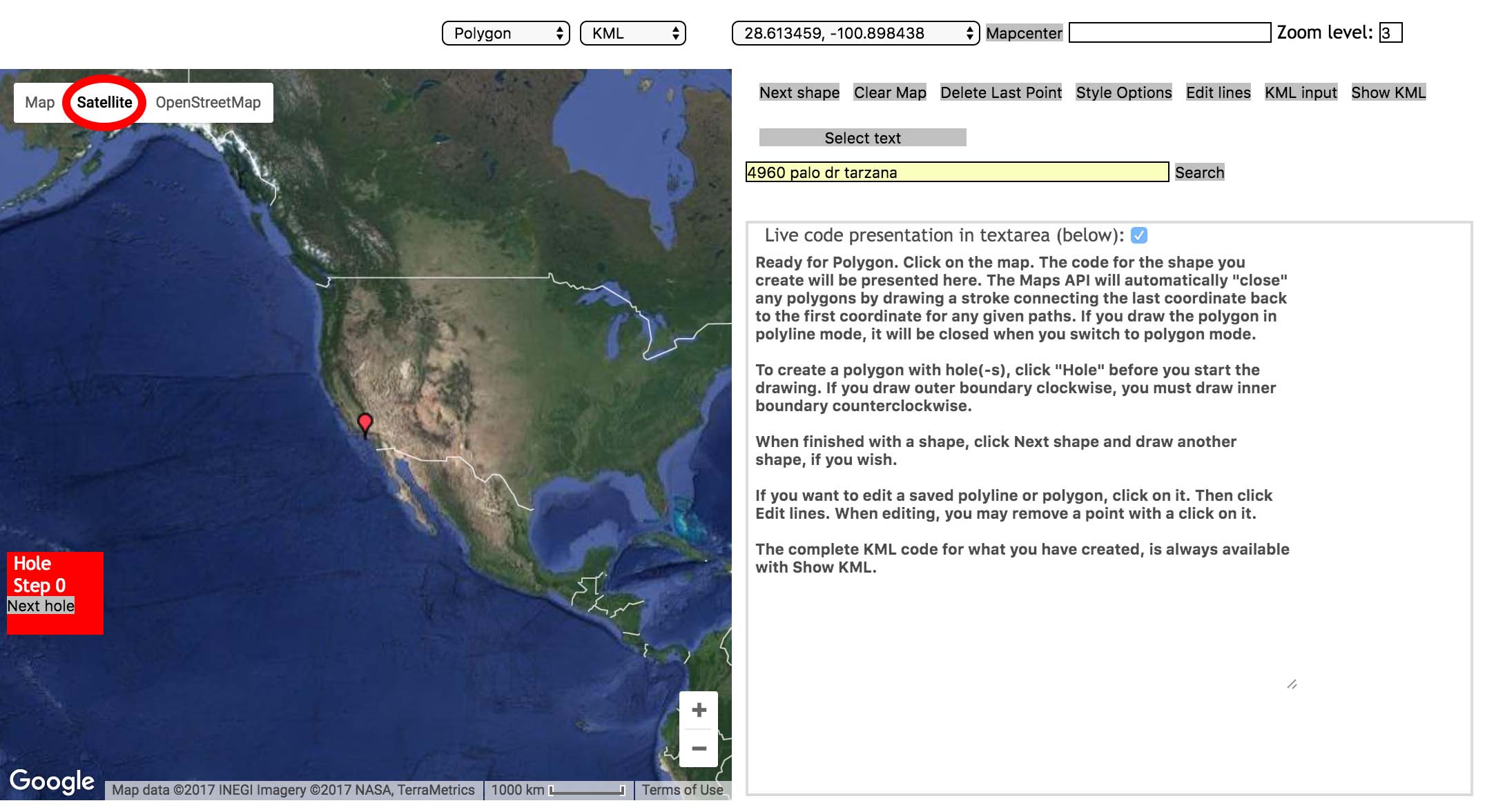
- Zoom in until you can make out your field in detail
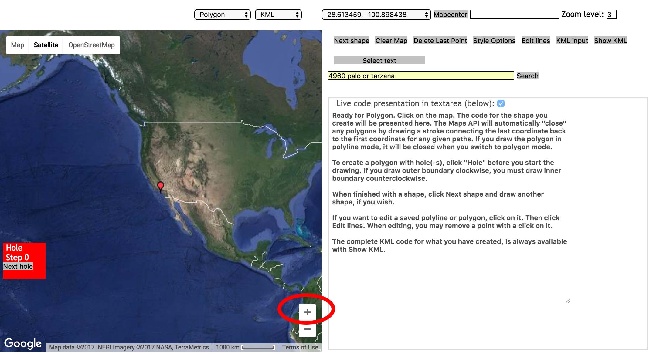
- Select the Polygon tool in the upper menu.
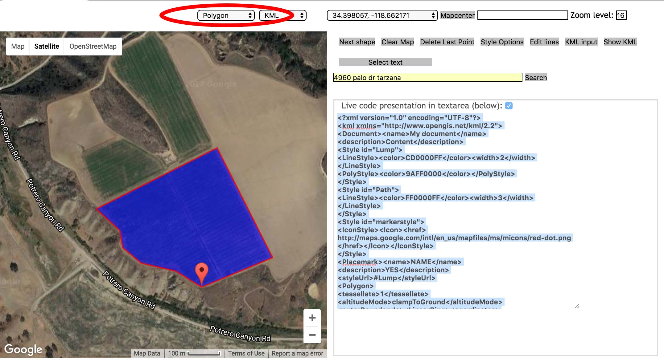
- Click on the map to create a shape outlining your field.
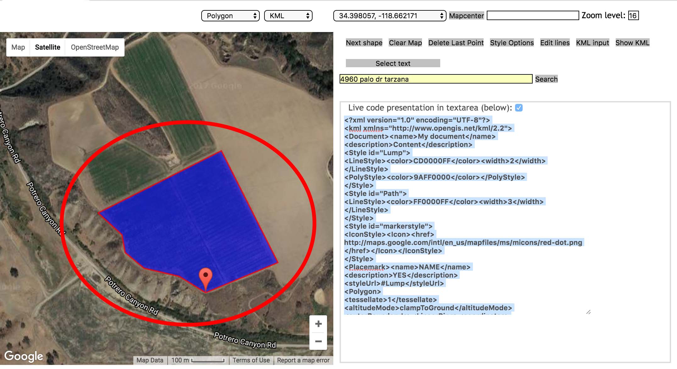
- Select the text to the right of the map. Copy and paste the text into the box below the map.
We focus specifically on orchard crops, with includes Apples, Avocados, Peach, Oranges and Lemons.
YES! However, unlike virtually every other service provider in the industry, we use customized UAVs, which allows us to fly for long periods at low altitude and with high precision.
This allows us to gather the data properly for post-processing as well as cover many fields in a single UAV, cutting operating costs and lowering prices to match those of providers using manned airplanes (primarily Cessnas), but with several advantages including less distortion (thanks to absence 0f clouds), ability to ground-check the images and fly over certain fields again to correct mistakes.
Due to weather conditions, we sometimes capture shadows in your imagery. Due to our low cruise altitudes, we do not get clouds in our imagery. Even if there are shadows present in some images, but valuable information can still be extracted form them, we deliver them as usual. However, If the clouds or shadows obstructs the imagery to a point where the images are unlikely to provide any value to the grower, we will not deliver the images, and notify you of the problem, and if such issues come up more than occasionally, we will issue you a refund according to the Service Level Agreement.
We charge per image per acre, plus certain fees for processing thermal and other indexes, so you can get value out of even a small field.
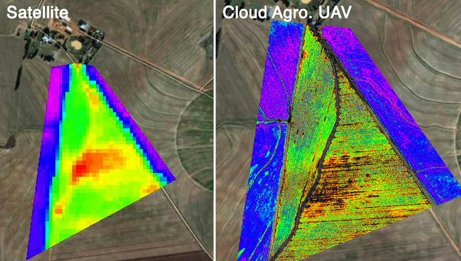
We offer visual imagery as well as processed heat-maps of early stress of the crops. We also perform in-depth spectral analysis on each tree to detect signs of disease onset and recommend treatments.
We also offer various add-on packages to these images, such as tree-counting and irrigation leak identification.
GIS Location Accuracy
In standard conditions (flying at 100-150 meters above natural terrains with 60 to 70% image overlap), a relative accuracy of 15 cm and an absolute accuracy of 3-5 meters (in case no ground control points (CGP) are used) can be expected at the location of the found matching points.
Resolution
Unlike satellites, which max out at about 40cm per pixel, and manned airplanes which can only achieve 15cm per pixel, our UAVs achieve up to 15cm accuracy with visual / near-infrared / combined NDVI images.
Some other advantages of flying at these altitudes include less cloud distortion in the produced images and less weather disturbance during flight, increasing reliability of on-time image delivery.
Format
The images will be accessible to the user in the standard Jpeg format. If the user requests, we can also send over the raw .tiff files for personal processing.
The 3D models and geo-referenced ortho-mosaics will be sent in the format most suitable for the desired application of the customer, determined by the format most recognized in that particular industry
Regular Delivery
Because we fly over each farmed we are responsible for at least once a week, and process all our images in the cloud using dedicated servers, we can deliver the images to clients usually within 12-24 hours of the flight, allowing the grower to assess changes in crops and compare them to recent actions.
Points of Interest
Using our algorithms and geospatial specialists, we will mark locations of interest on the images, and provide a possible course of action or suggestions how you should resolve that particular issue on your field.
We currently operate in California, but are constantly expanding and looking for testers in other states.
We fly from 2 hours after sunrise until 2 hours before sunset, which is the time period during which the sun is at the proper angle to expose the canopy and allows for useful images to be captured.