DATA THAT PAYS FOR ITSELF
Farmers understand the value of scouting their crops for infected trees, but few have the time and resources necessary to cover the acres on foot, and the samples they do obtain take weeks to process. Aerial imagery is an ideal solution because it saves time and provides much more comprehensive and actionable data about their fields. However, unlike with the standard approach of purchasing a personal UAV, our business model allows the farmer to make a positive return on investment within the first season.
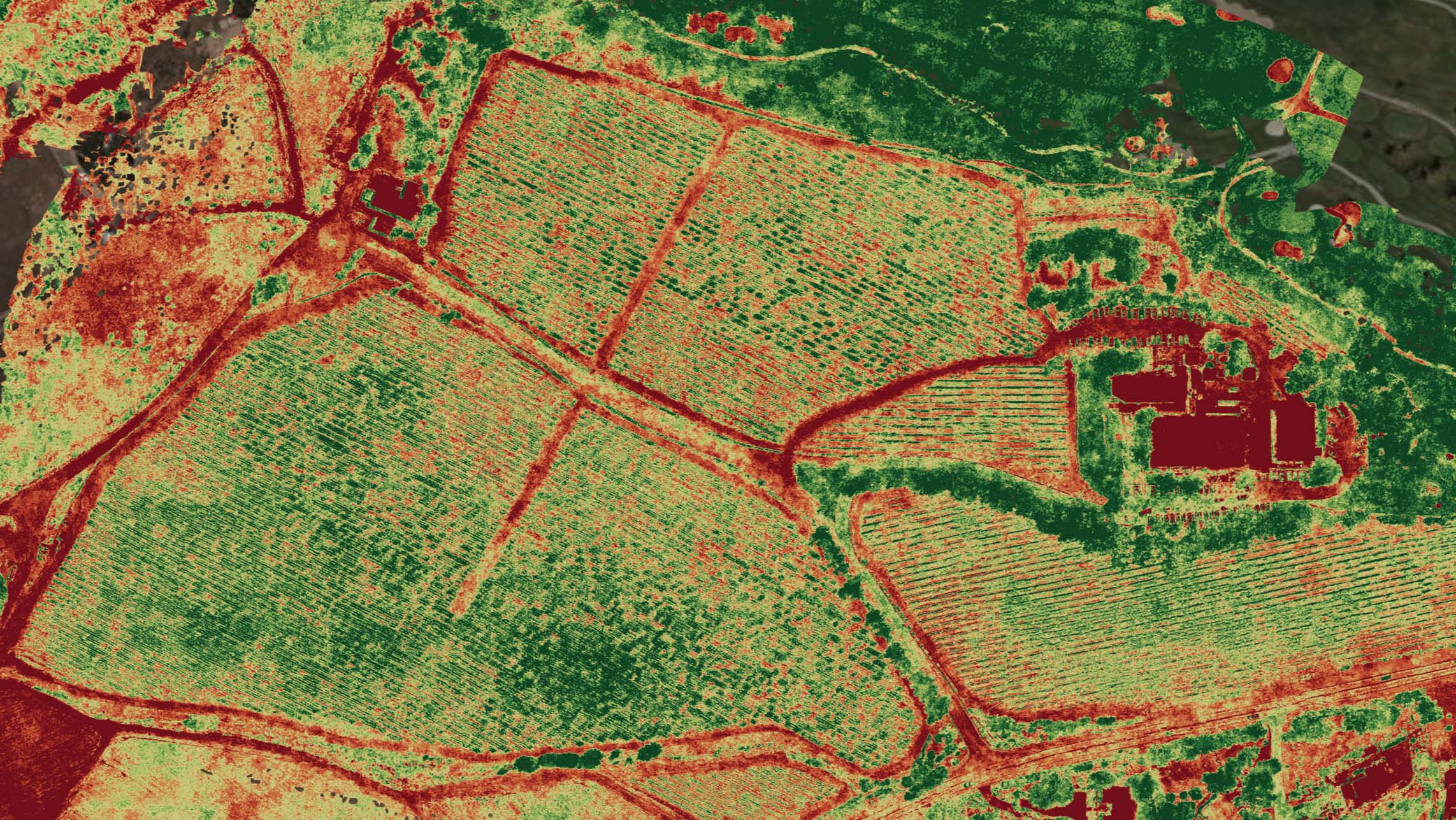
Our specialized imaging can help farmers determine not only the location of a specific disease on an orchard, but also the projected progression. Similar to existing agricultural imaging companies, we can also identify stress areas of the field earlier than NDVI imaging.
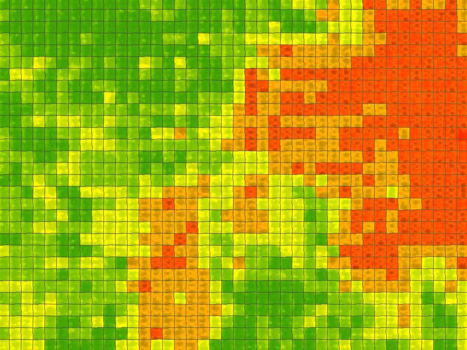
For example, a subscription for a full growing season of crops grown on a field of 115 acres costs $2000-5000 (depending on service and frequency), yet the provided data (right) alone can help the farmer increase the overall yield by over 20% and reduce net end-of-season expenses by up to $65,000 (ROI of ~20x) by quickly identifying stressed regions of the field and recommending specific treatments.
Tree Stress Heat-map. RED indicates infected trees.

